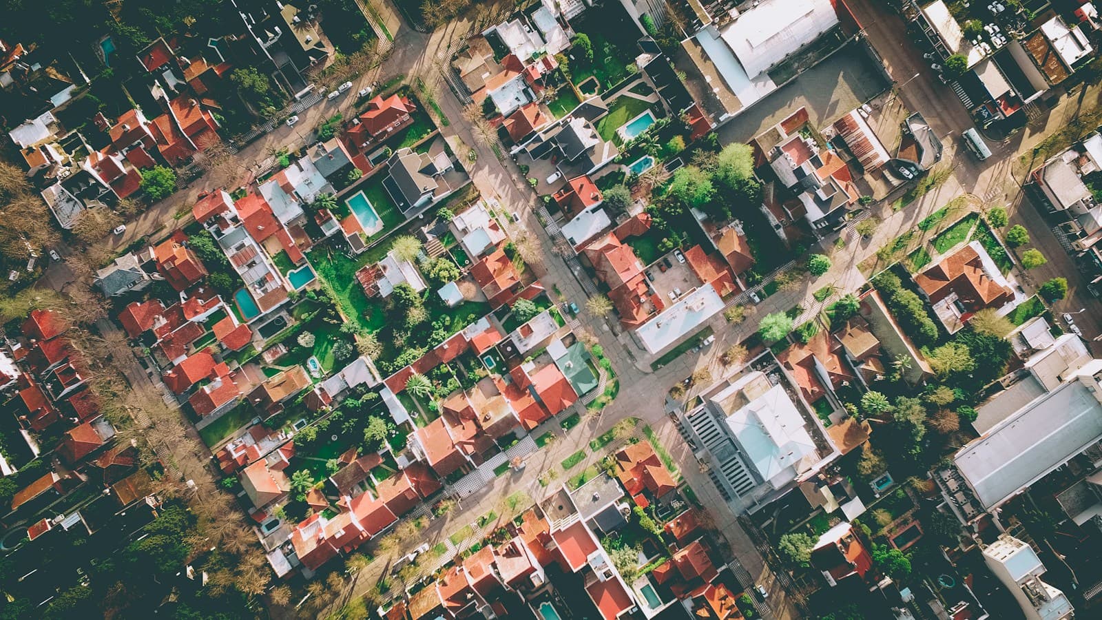
LiDAR Based Urban Flood Modelling
High Resolution LiDAR Terrain
PeriLens uses high resolution LiDAR derived DSM and DTM to accurately represent buildings, roads, drainage networks, and terrain. These datasets drive high precision hydraulic simulations to model urban flooding, overland flow, flood depth, and inundation extent at street scale.
Smart Drainage Monitoring
IoT Sensor Integration
PeriLens integrates hydraulic model outputs with IoT sensors to monitor drainage networks in near real time. Interactive dashboards provide live pipe capacity, water levels, flow conditions, drainage performance, and flood alerts for proactive urban infrastructure management.
Urban Heat Island Intelligence
Urban Heat Island Assessment
PeriLens combines high resolution land surface characteristics, urban morphology, vegetation, and climate data to model Urban Heat Island intensity. The platform identifies heat hotspots and evaluates impacts on public health, infrastructure, urban planning, green infrastructure, and climate adaptation strategies.